The “right to roam” across hill and valley, field and glen, moor and fen.
Not quite … but it’s close.
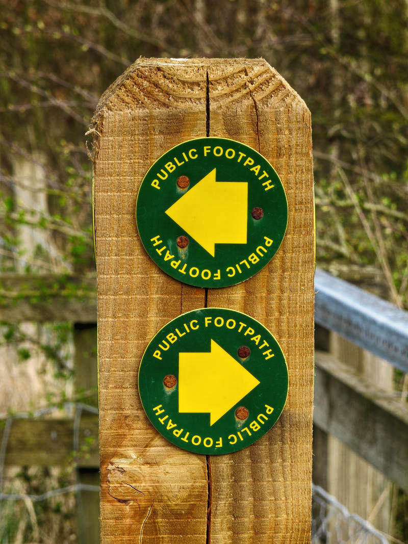
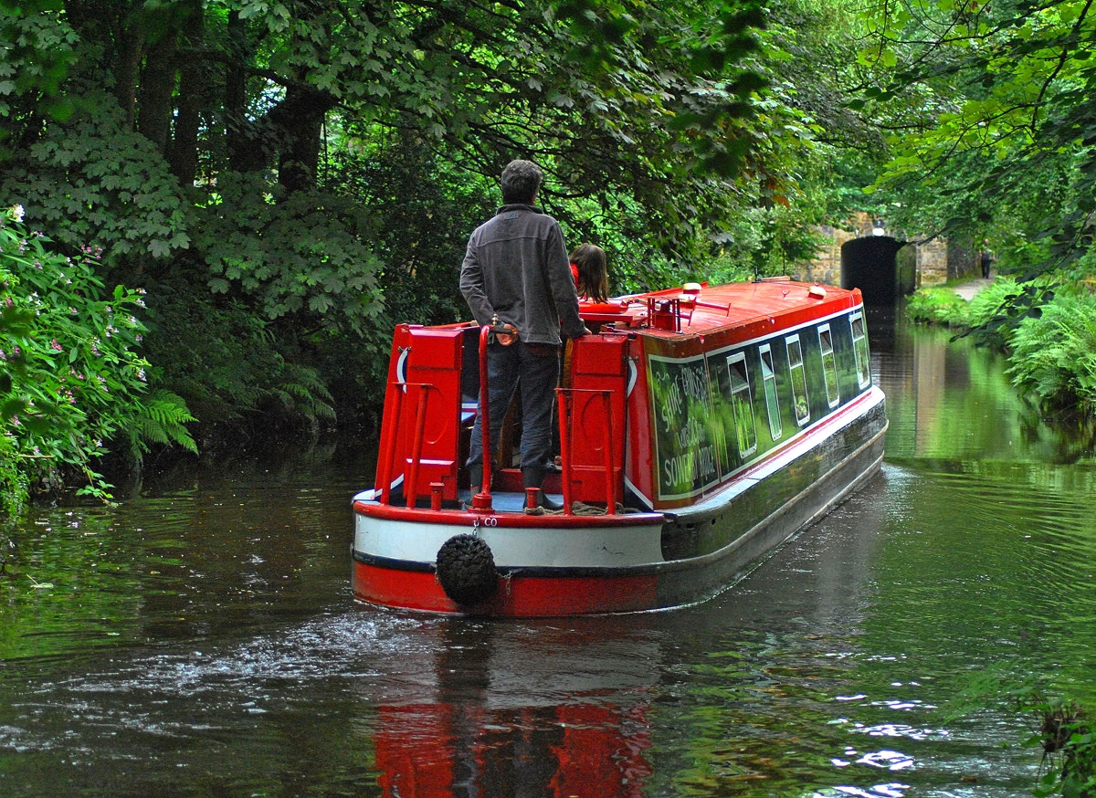
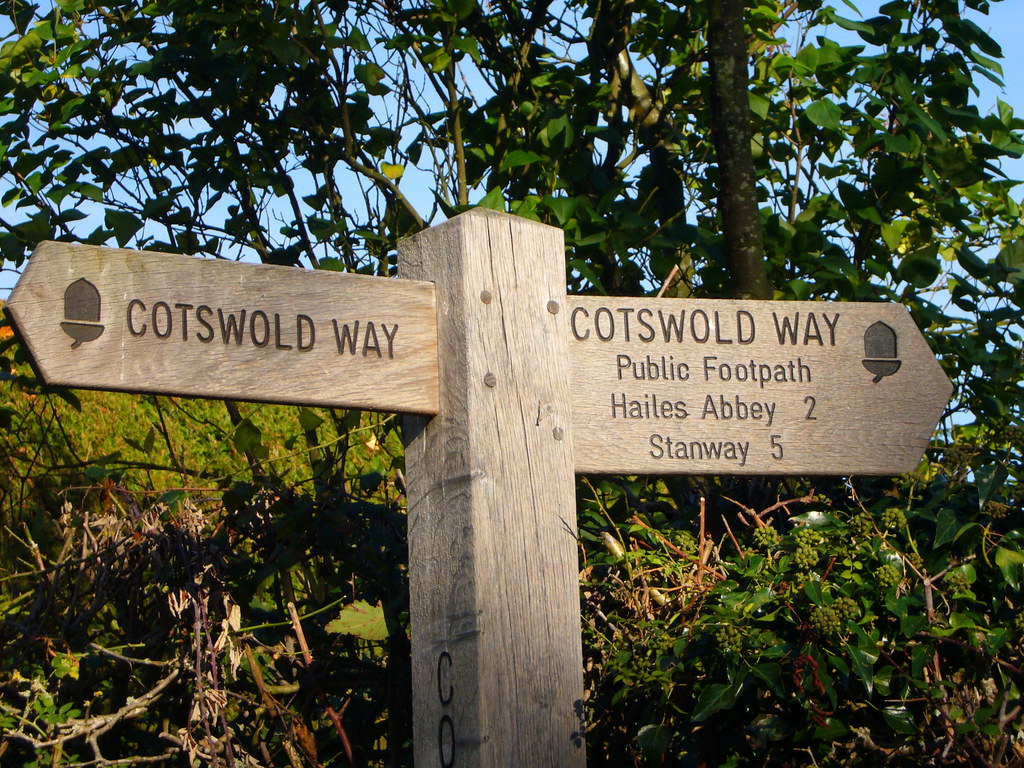
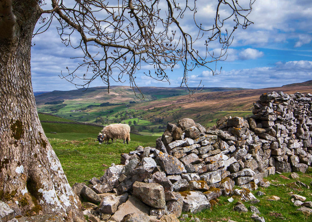
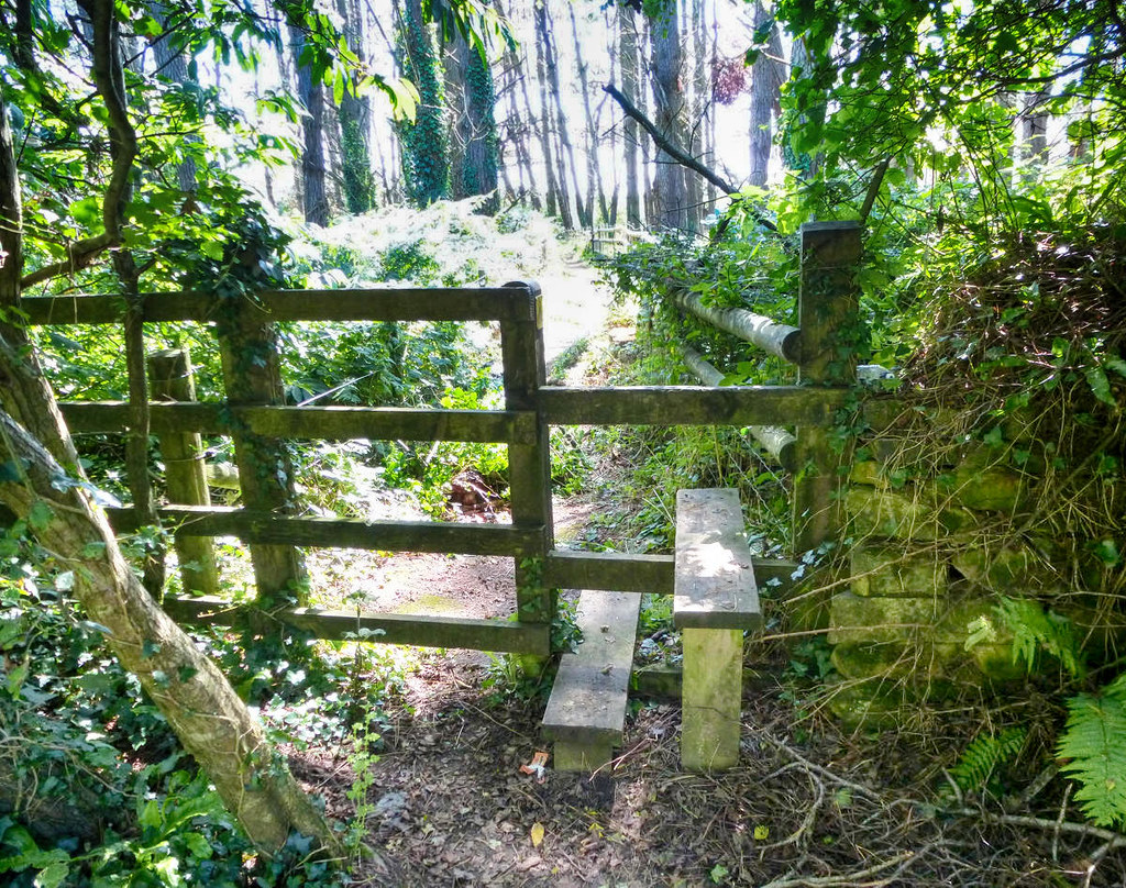
England and Wales have designated paths on which our right to pass and re-pass is protected by law.
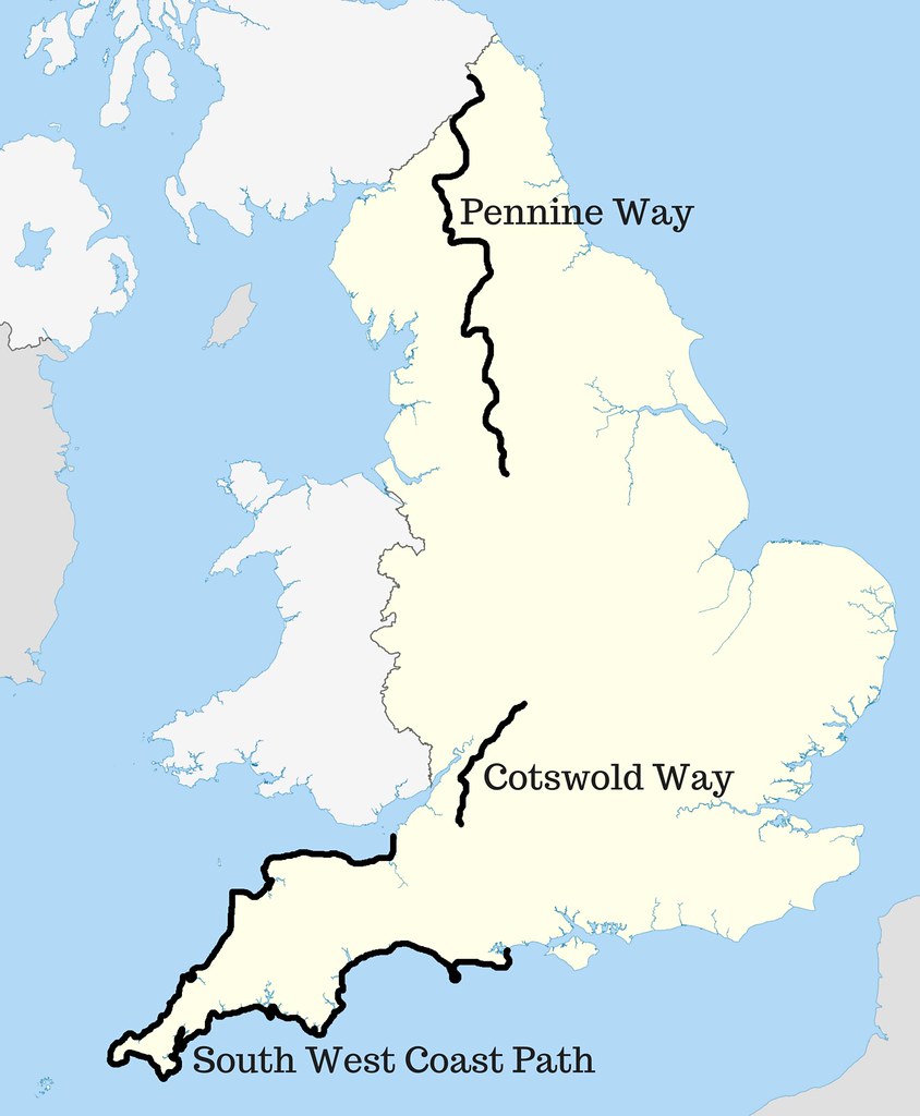
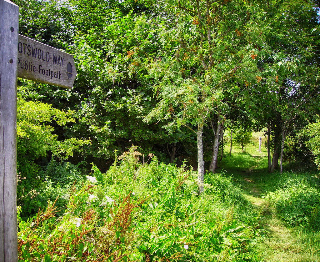
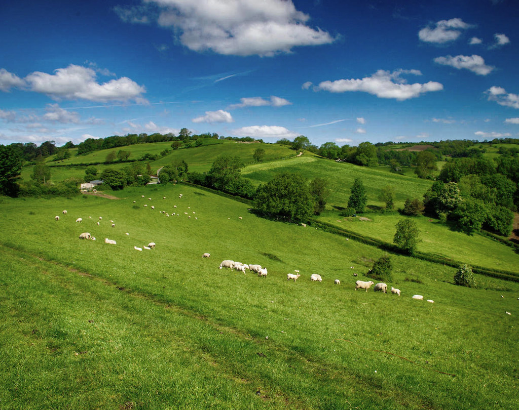
The Cotswold Way
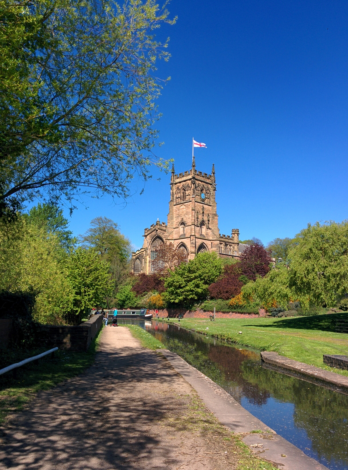
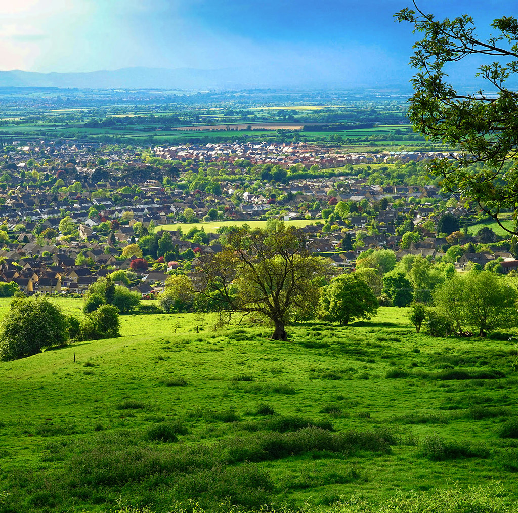
At 102 miles, the Cotswold Way is the shortest and easiest of our three examples of long-distance footpaths and one of the most delightful.
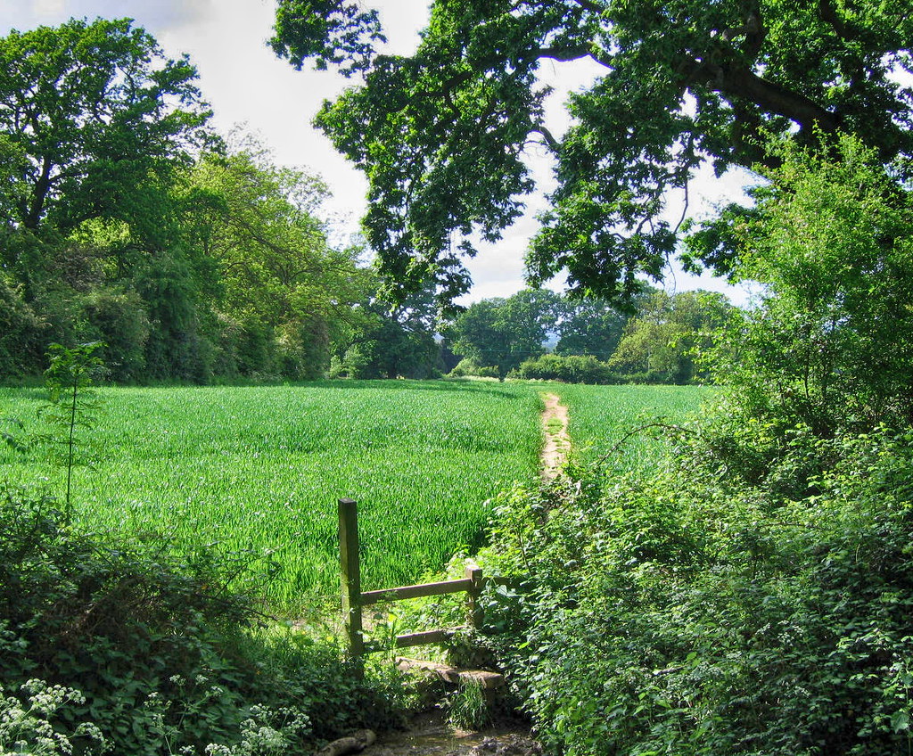
Gently rolling hills rise from the meadows of the upper reaches of the River Thames creating a gorgeous grassland habitat that is ideal for sheep farming.
Flourishing during the medieval period, the Cotswolds’ wool trade created the wealth that has shaped so much of the region’s beauty.
Dotted with picturesque little villages, beautiful Georgian towns, and ancient sites, the Cotswold Way starts in the south at the city of Bath and ends in the charming market town of Chipping Campden.
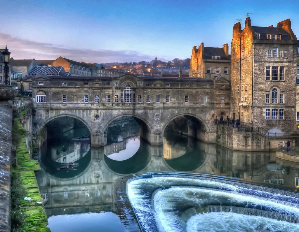
Bath is a World Heritage Site largely because of its beautiful Georgian architecture in honey-coloured stone.
Much photographed in Bath is the 18th-century Palladian style Pulteney Bridge and weir.
10 of the best things to do in the City of Bath.
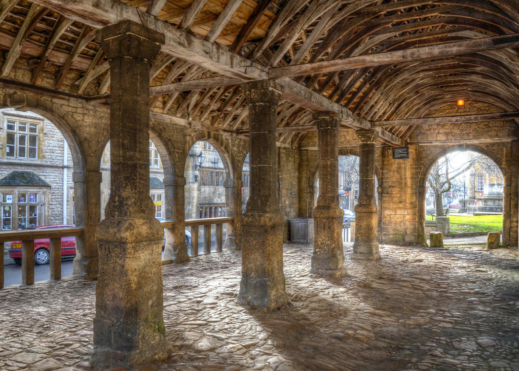
Notable for its elegant terraced High Street, Chipping Campden features many buildings from the 14th through the 17th century.
Meaning “market-place”, the word “Chipping” is found in other English town names like Chipping Norton and Chipping Sodbury.
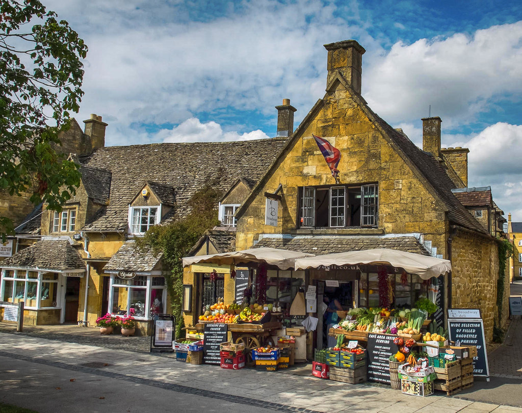
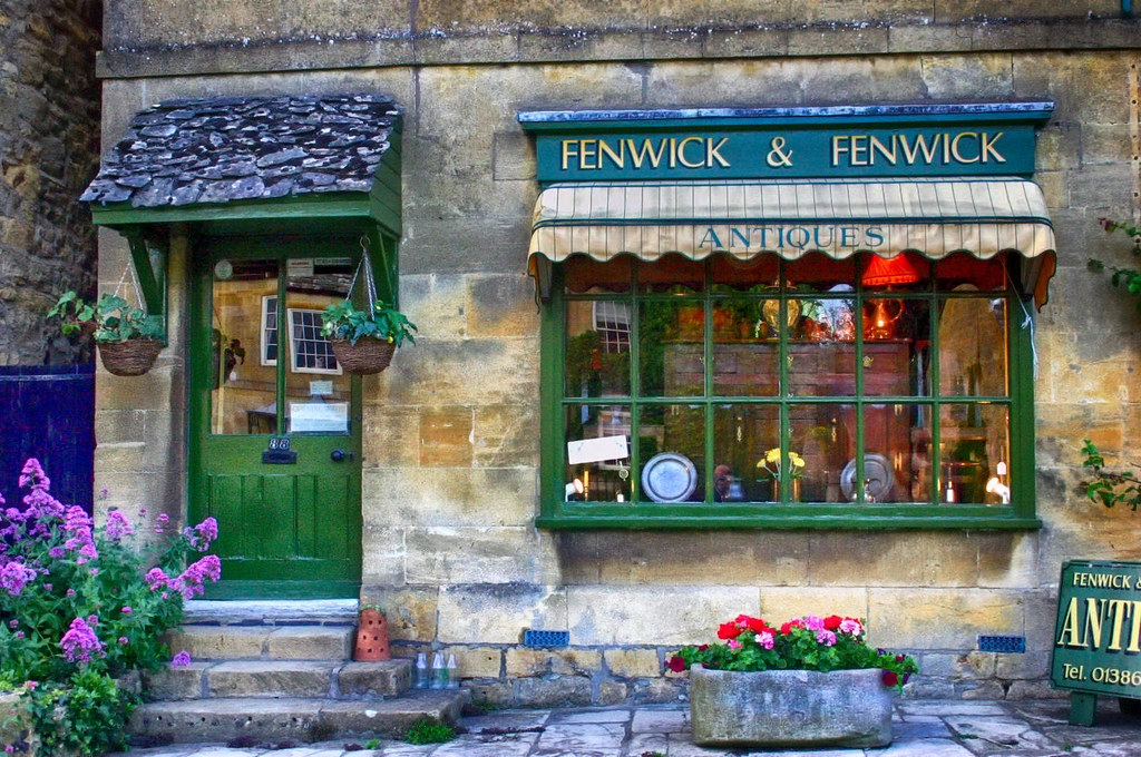
Once a rich wool trading centre in medieval times, today it is a popular tourist haunt with old inns, pubs, and specialist shops.
Standing proudly at the centre of the town is the medieval arched Market Hall, built in 1627.
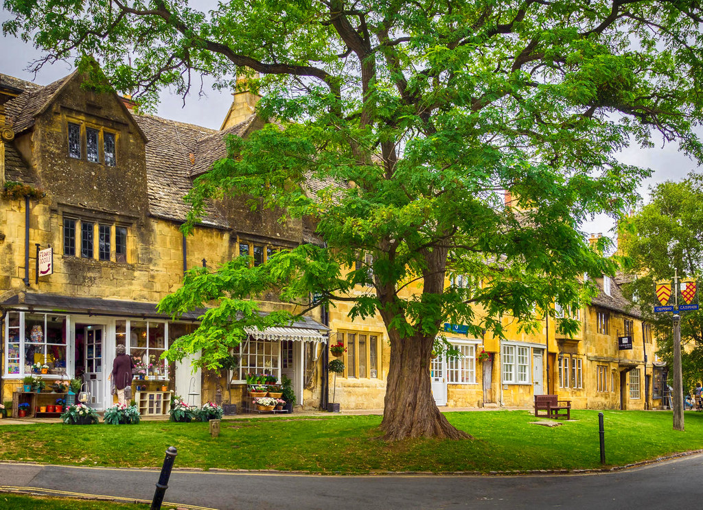
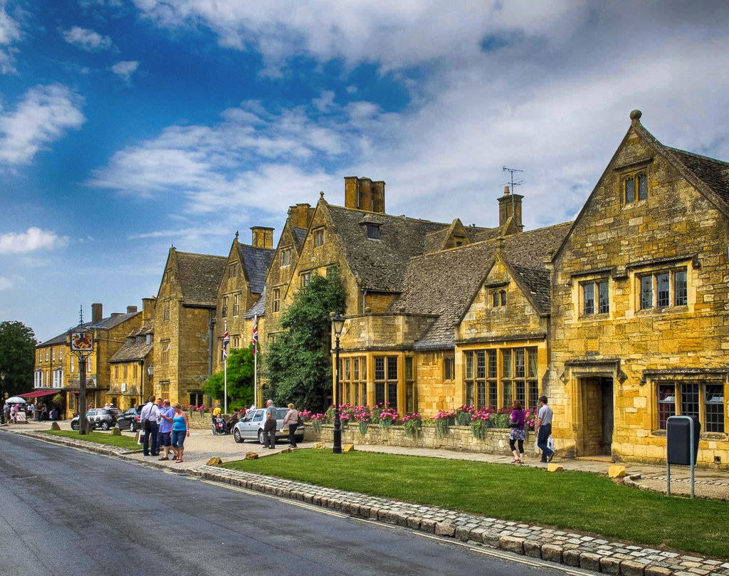
Often referred to as the “Jewel of the Cotswolds”, Broadway is another charming village along the Cotswold Way.
Lined with red chestnut trees and honey-coloured Cotswold limestone buildings, the wide grass-fringed main street gives Broadway its name.
Designed by James Wyatt in 1794 to resemble a mock “Saxon” castle, Broadway Tower is a folly in the English county of Worcestershire and built for Lady Coventry in 1799.
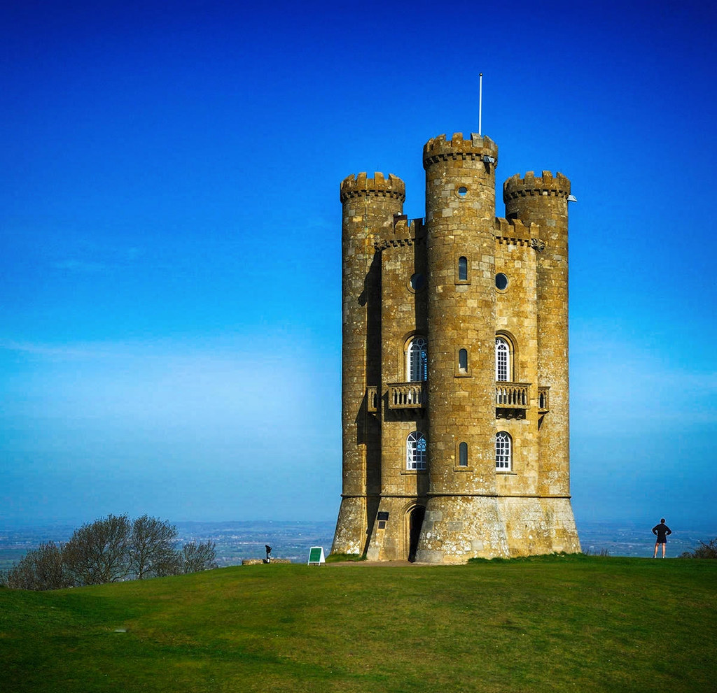
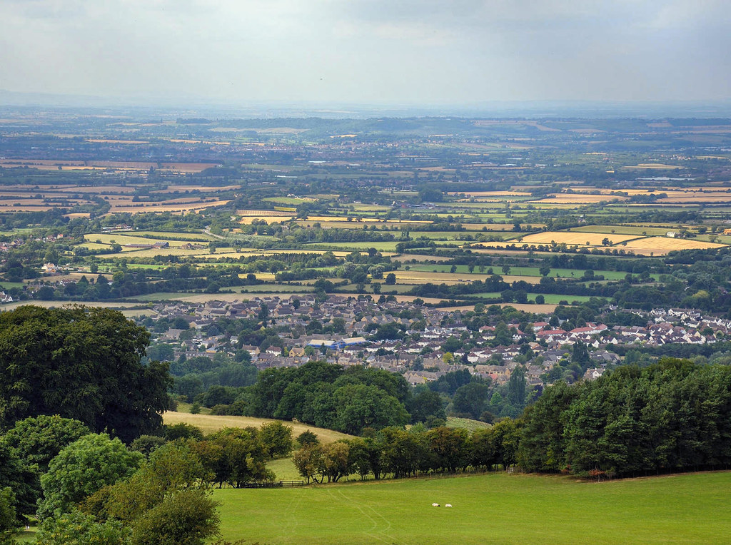
Perched on the edge of the second highest point in the Cotswolds overlooking the Severn Vale, on a clear day, as many as 16 English counties can be identified from the top of the tower.
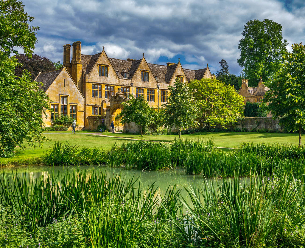
Built in the late 1500s, Stanway House is a Jacobean manor near the village of Stanway along the Cotswold Way.
Protected as a building of exceptional historic interest, Stanway House has been featured in the British comedy-drama series Jeeves and Wooster, starring Hugh Laurie and Stephen Fry, and the period drama Father Brown.
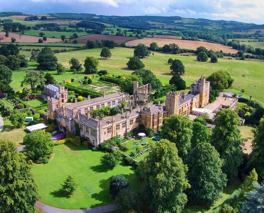
With its manicured gardens and superbly preserved structure dating back to the 1400s, Sudeley Castle is well worth a visit as you walk the Cotswold Way.
Once the home of Dowager Queen Catherine Parr, last of Henry VIII’s six wives, the castle chapel holds her marble tomb.
With countless beautiful old pubs and little antique shops, there’s plenty to discover on the Cotswold Way for memories that will last a lifetime.
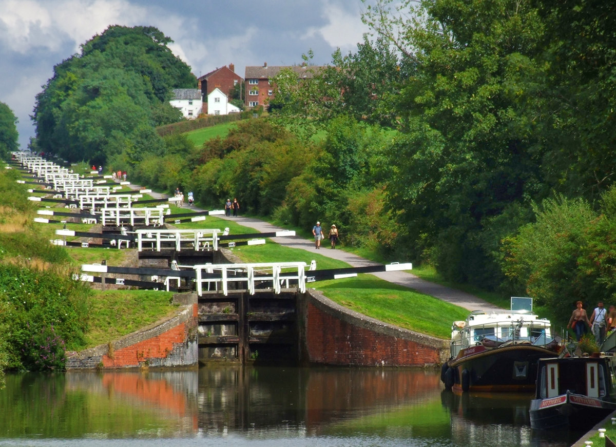
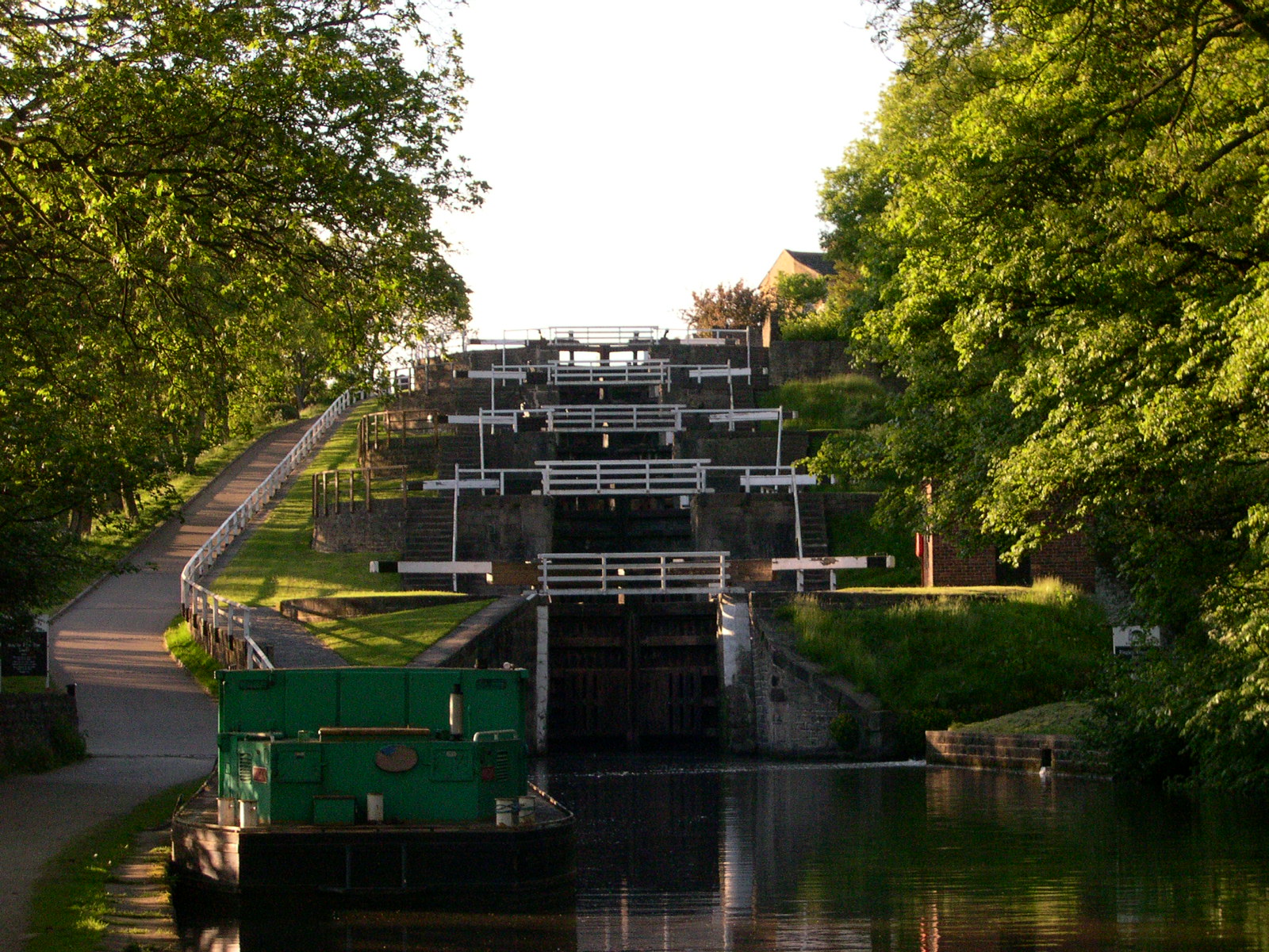
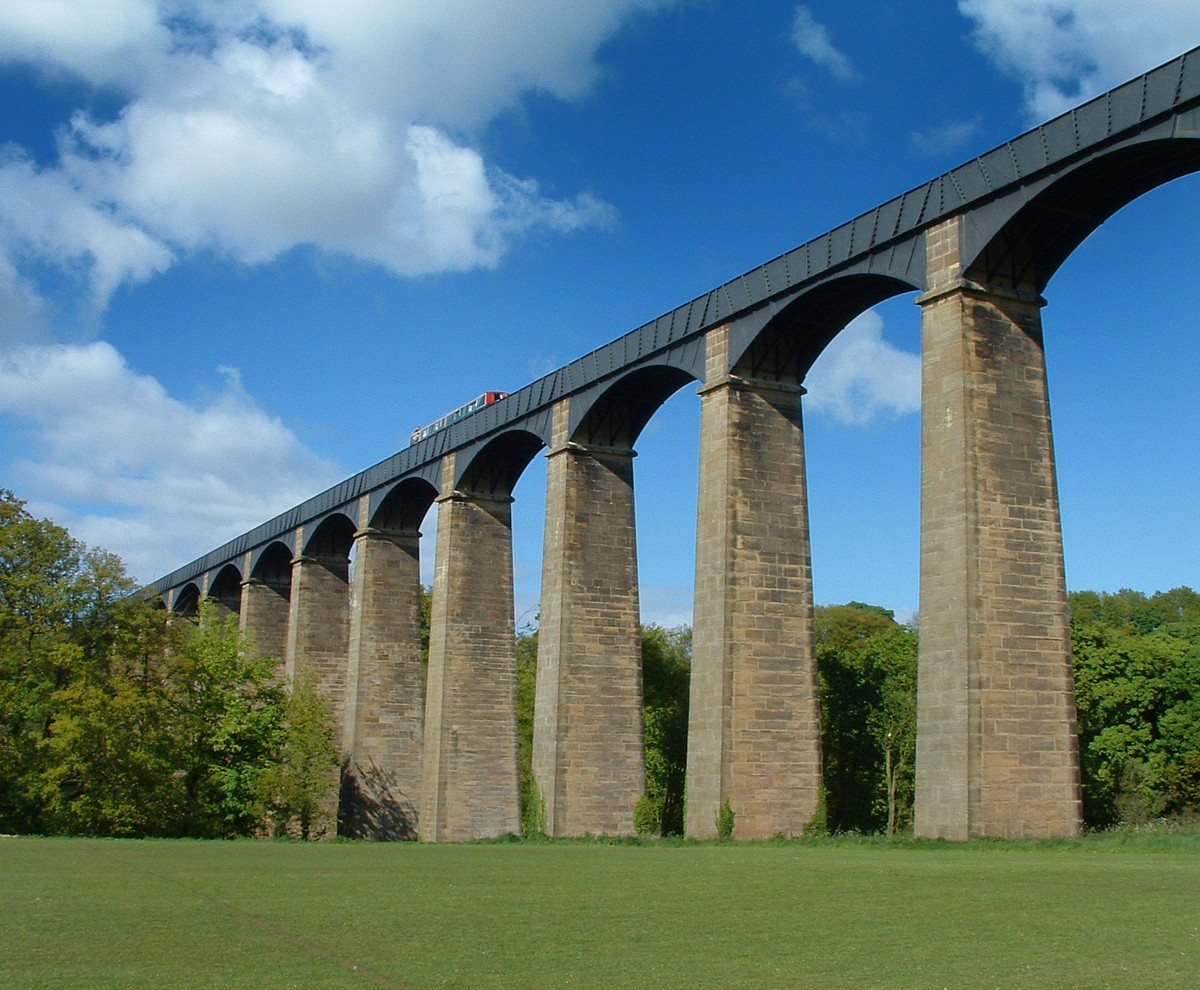
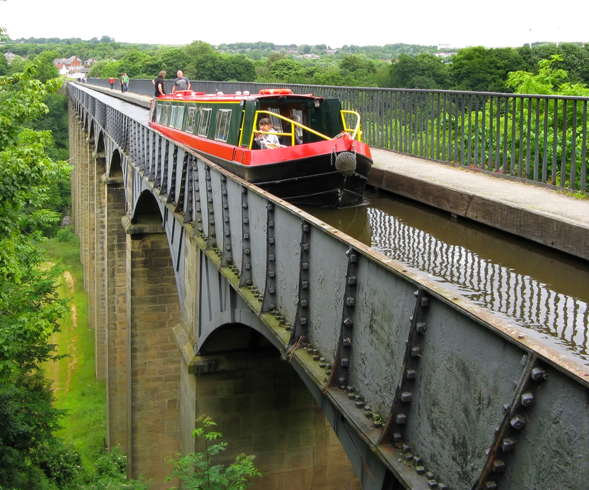
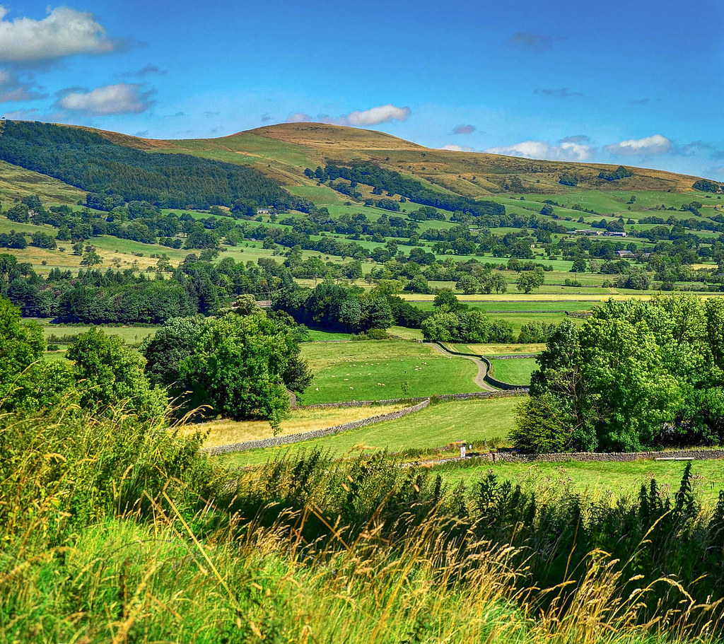
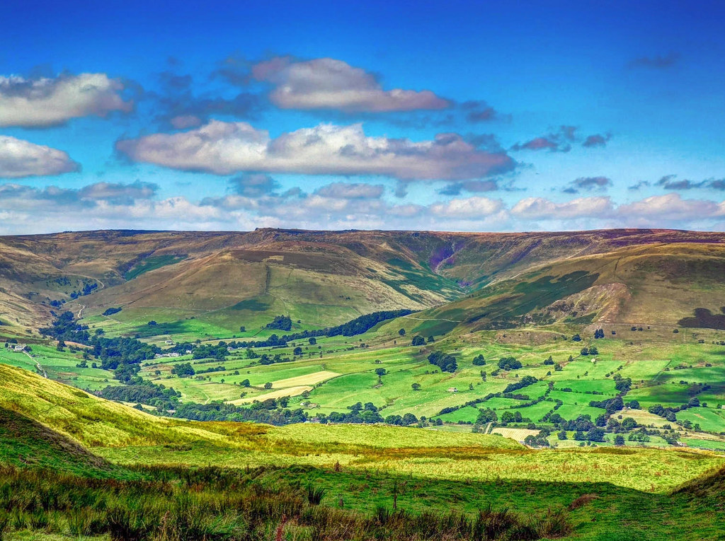
The Pennine Way
Running 267 miles along the Pennine Hills, dubbed “the backbone of England”, the Pennine Way starts in the Peak District and ends just inside the Scottish border.
Around 260,000 walkers use all or part of the path each year, which includes 287 gates, 432 stiles, and 204 bridges.
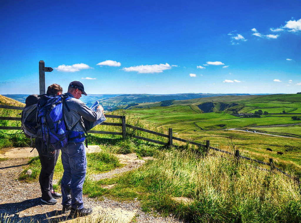
According to local ramblers, it is “one of Britain’s best known and toughest” national trails.
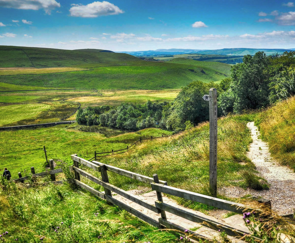
Inspired by America’s Appalachian Trail, journalist Tom Stephenson proposed the concept for the path in 1935 and lobbied parliament for an official trail.
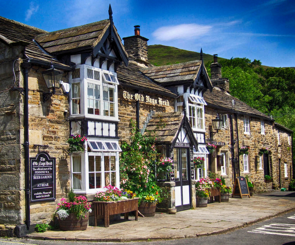
Known as the official start of the Pennine Way, the Old Nag’s Head in Edale is a low-ceilinged, stone-built pub sitting at the top of Edale village square since 1577.
Hand-pulled real ales and old-fashioned English pub fare are very popular after a long day hiking to local viewing spots with names like “The Nab” and “Ringing Roger”.
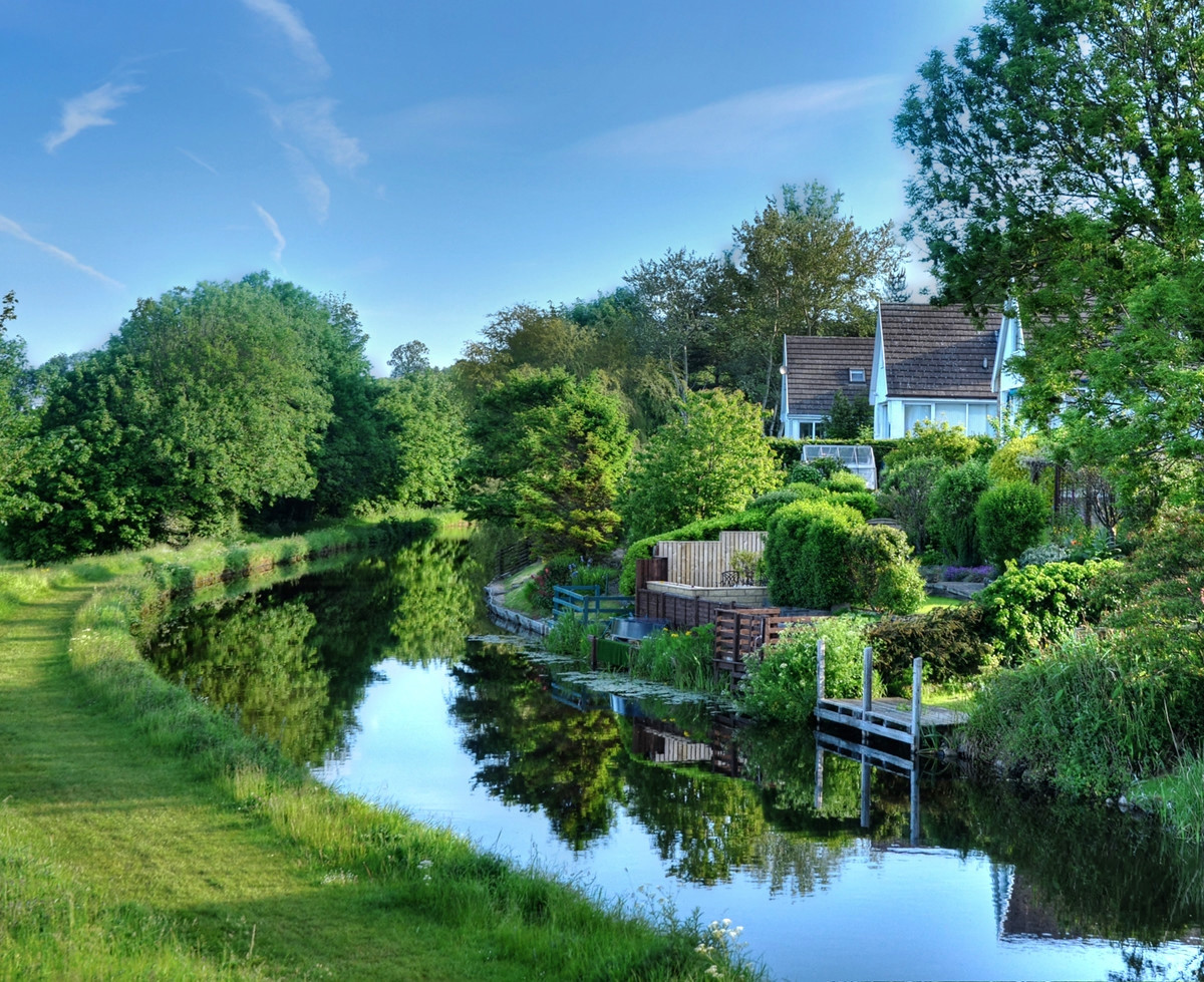
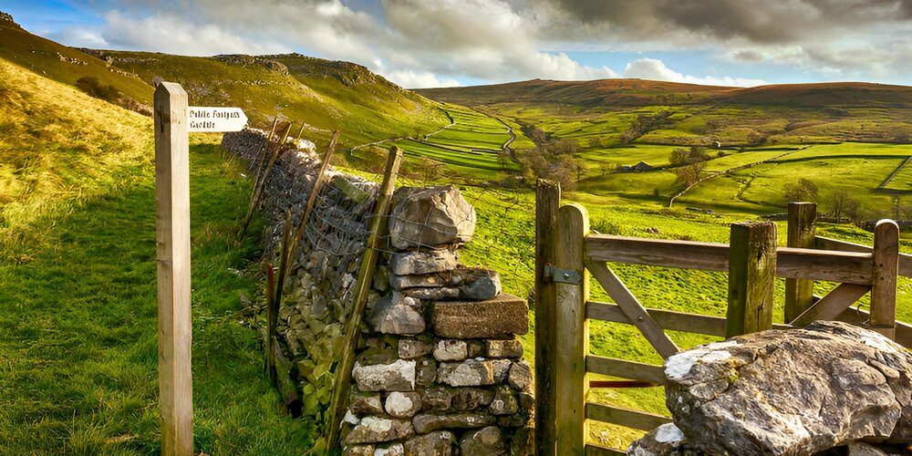
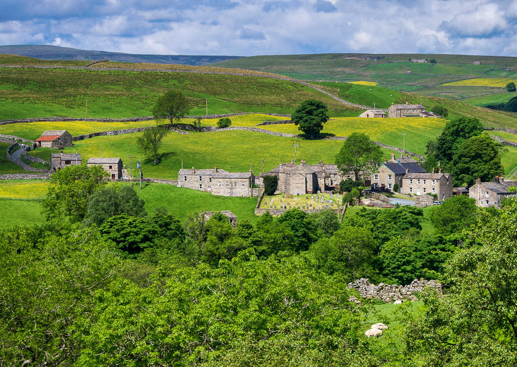
The Yorkshire Dales: England’s Green and Pleasant Land.

Nestled in the Swaledale valley of the Yorkshire Dales, Thwaite is a beautiful little village with buildings made from local stone.
Originating from Old Norse “thveit”, the name Thwait means a clearing, implying that the area was once covered by thick forest.
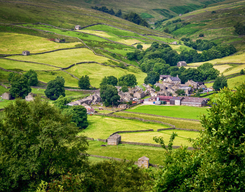
Grazed by sheep and cattle, the green upland pastures are separated by dry-stone walls built without mortar but stable thanks to a unique construction of interlocking stones.

The Kearton Tearooms and guesthouse are named after pioneering 19th-century wildlife photographers Richard and Cherry Kearton.
Named after the River Swale, meaning “rapid and liable to deluge” in old Anglo-Saxon, Swaledale is a typical limestone Yorkshire Dale with a narrow valley floor and green meadow glacier-formed valley sides.
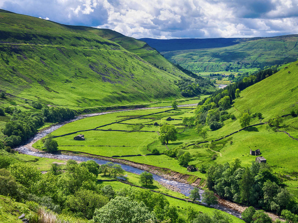
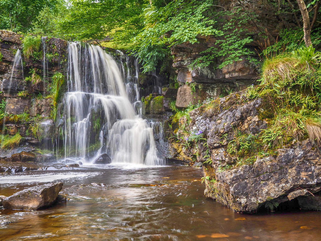
Deriving from the Viking word Kelda meaning a spring, Keld is at the confluence of the Pennine Way and another long-distance footpath called the Coast to Coast Walk.
Comprising a series of four steps, each its own small waterfall with the largest single drop being about 20 feet, Catrake Force is about 1/2 mile walk from Keld along the Pennine Way.
Waterfalls in the north of England are often called Forces after the Norse word Foss which means waterfall, whilst Catrake derives from the Latin “cataracta”, also meaing waterfall.
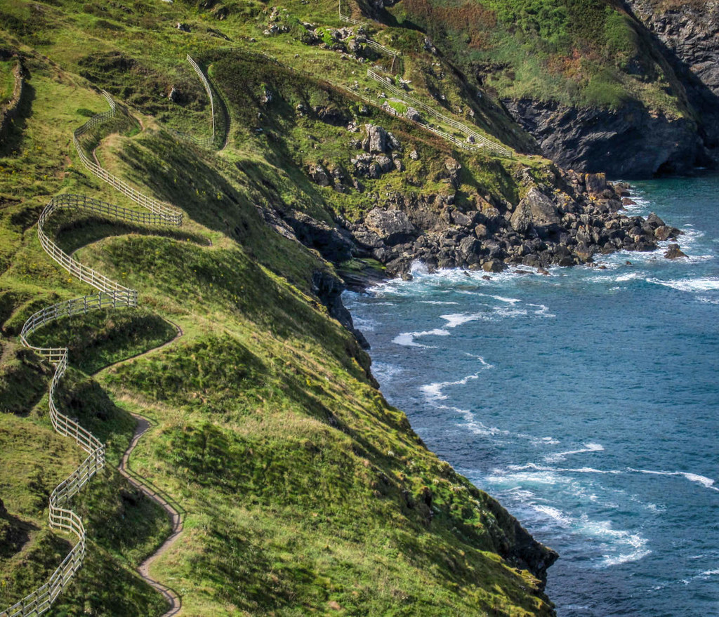
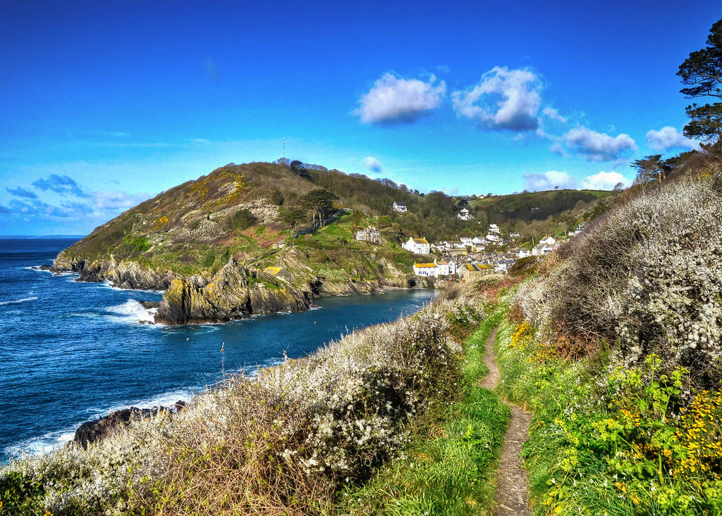
The South West Coast Path
Voted “Britain’s Best Walking route” twice in a row by the Ramblers Walk magazine, at 630 miles, it is the longest of our three featured long-distance walks.
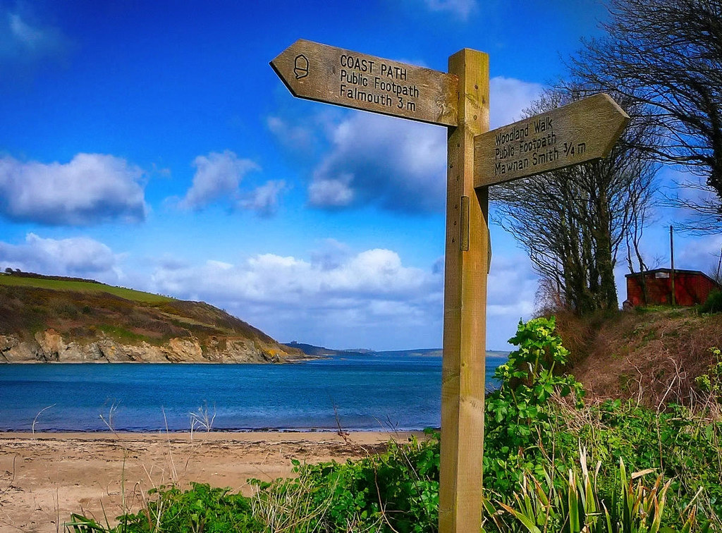
Since the South West Coast Path rises and falls at the mouth of each river, it is one of the most challenging walks in Britain.
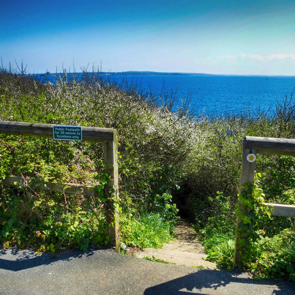
Originating as a route for the Coastguard to walk from lighthouse to lighthouse patrolling for smugglers, it hugs the coastline and provides excellent views of the dozens of bays and coves.
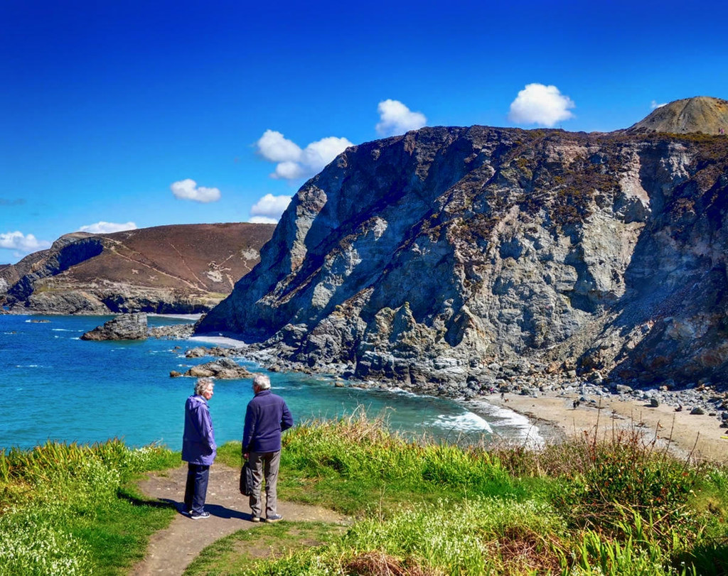
Turquoise waters lap beautiful deserted beaches.
Skylarks rise above steep green pastures.
Is this some Caribbean paradise isle?
No, this is Lantic Bay, Cornwall, a part of England bathed in the warmth of the Gulf Stream—an Atlantic ocean current originating in the Gulf of Mexico.

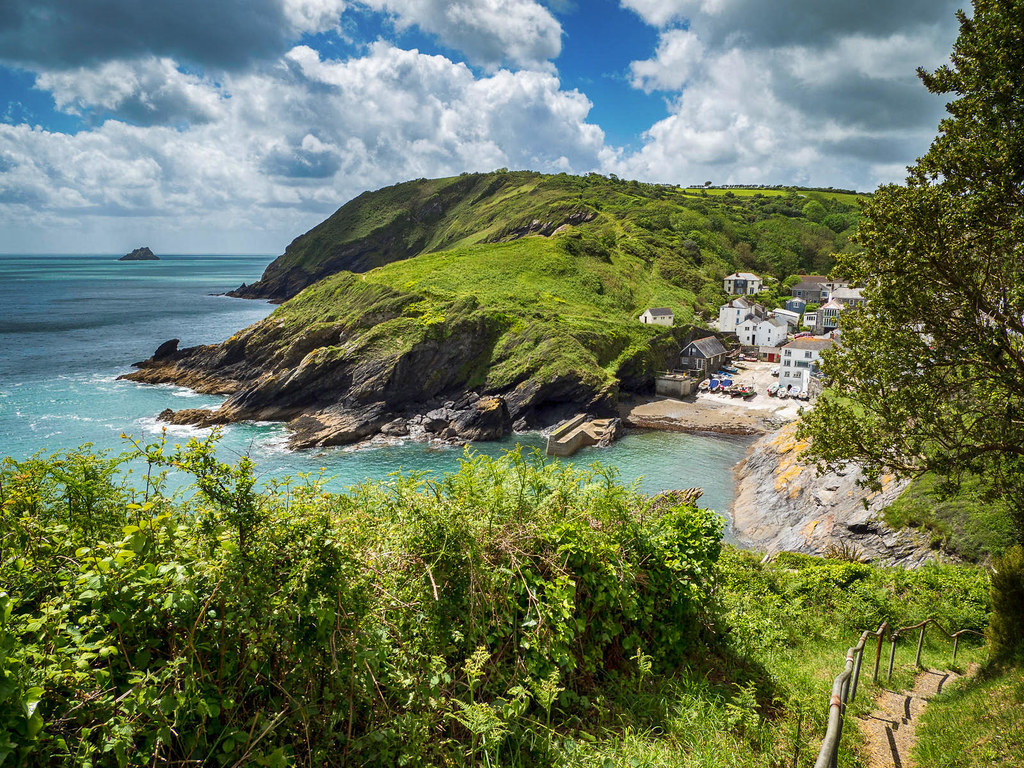
Lying within the Cornwall Area of Outstanding Natural Beauty, Portloe is a good example of a secluded small fishing village that’s relatively untouched by tourism.
Two full-time working fishing vessels haul in fresh crab and lobster to be enjoyed at the Ship Inn or Lugger Hotel.
Once a staging point on the pilgrimage to Canterbury Cathedral for those pilgrims traveling from further west by sea and from Brittany in France, Kingswear village sits on the east bank of the River Dart in Devon.
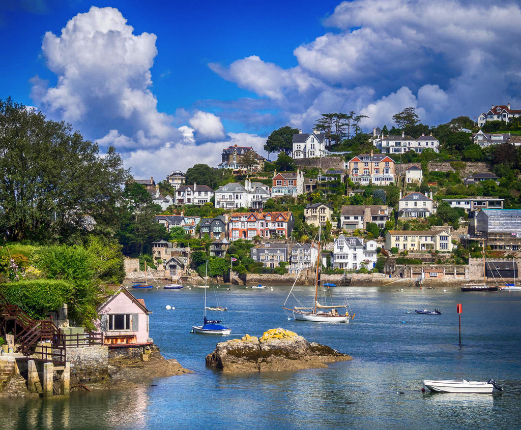
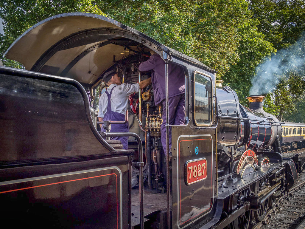
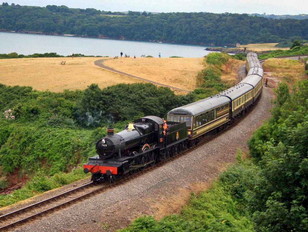
Serving as the railhead for the Dartmouth Steam Railway, Kingswear provides walkers of the South West Coast path a chance to ride on an original steam train that first opened in 1859 to the seaside resort of Paignton about 7 miles away.
Durdle Door (sometimes written Durdle Dor) is a natural limestone arch on the Jurassic Coast near Lulworth in Dorset.
Privately owned but open to the public, the name Durdle is derived from the Old English ‘thirl’ meaning bore or drill.
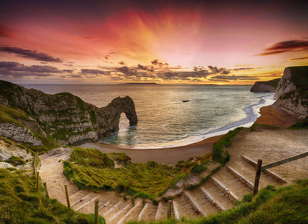
Spanning 185 million years of geological history, the 96-mile long Jurassic Coast is a UNESCO World Heritage Site.
Coastal erosion has exposed rock formations and fossils covering the Triassic, Jurassic and Cretaceous geological periods.

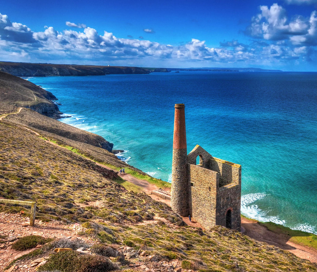
Radically reshaped in the 18th and 19th centuries by deep-lode mining for copper and tin, the Cornwall and West Devon Mining Landscape is another UNESCO World Heritage Site along the South West Coast Path.
Reflecting the flowering of innovation during the Industrial Revolution, the mines, engine houses, foundries, and ports enabled the region to produce two-thirds of the world’s supply of copper.
Following the copper crash of the 1860’s, production turned to focus on tin mining.
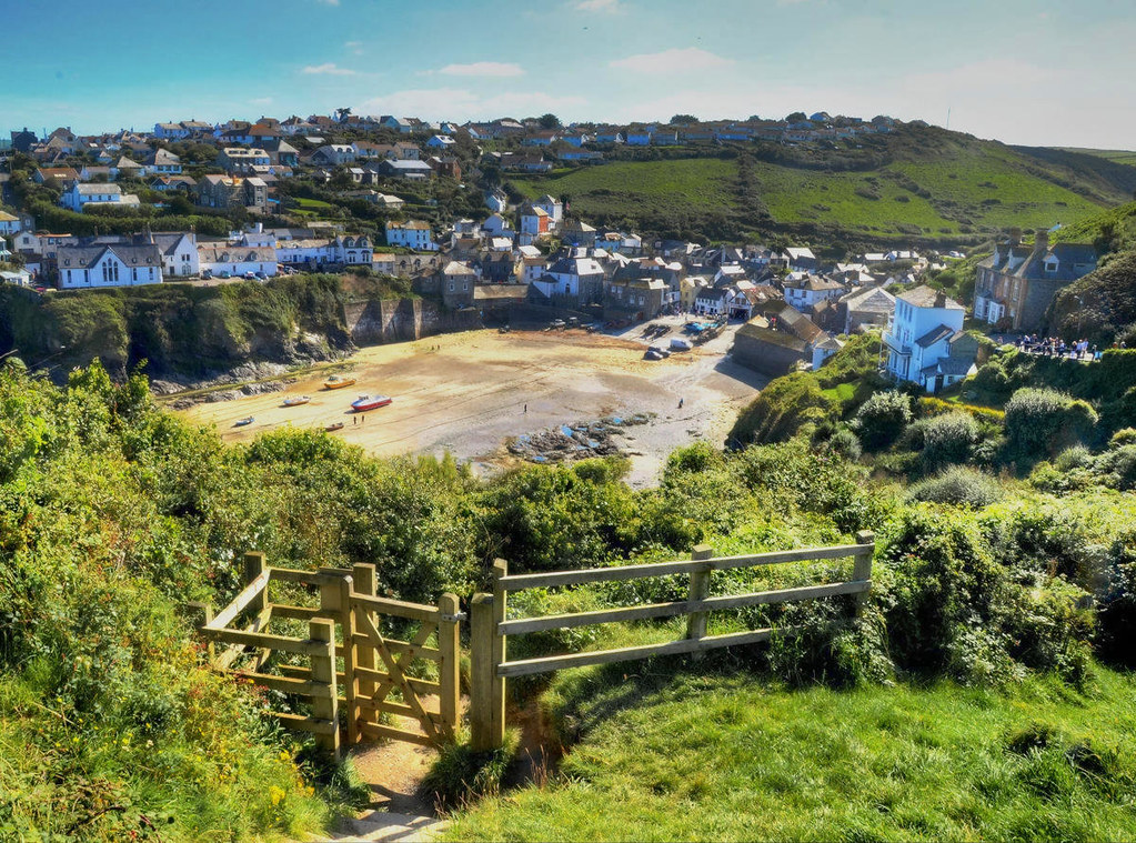
On your way along the north coast path of Cornwall, you might like to drop in on the picturesque fishing village of Port Isaac which served as the backdrop for the popular TV series Doc Martin.
The only question remaining is which path to take first?
Decisions, decisions.